
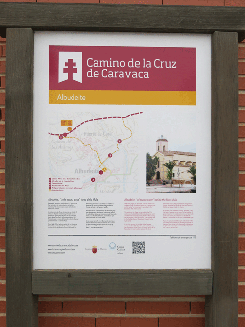
Camino de Levante
Saturday 22nd February 2025
| Distance |
Time |
Elevation in meters |
Km |
Elapsed
Hrs-Mins |
Moving
Hrs-Mins |
Gain |
Loss |
Min |
Max |
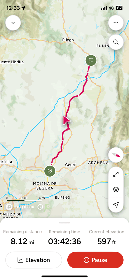
| 31.54 |
8H39 |
6H24 |
481 |
255 |
70 |
321 |
|
|
|
|
|
|
|
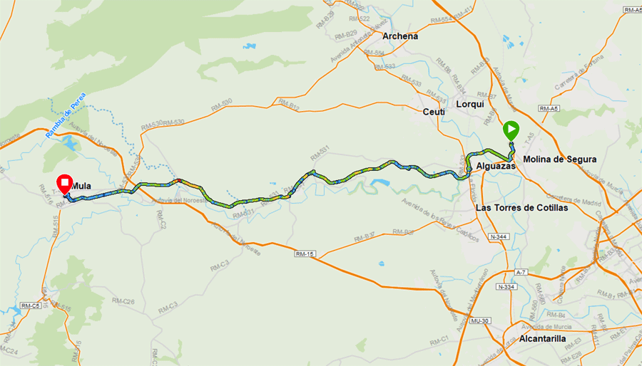
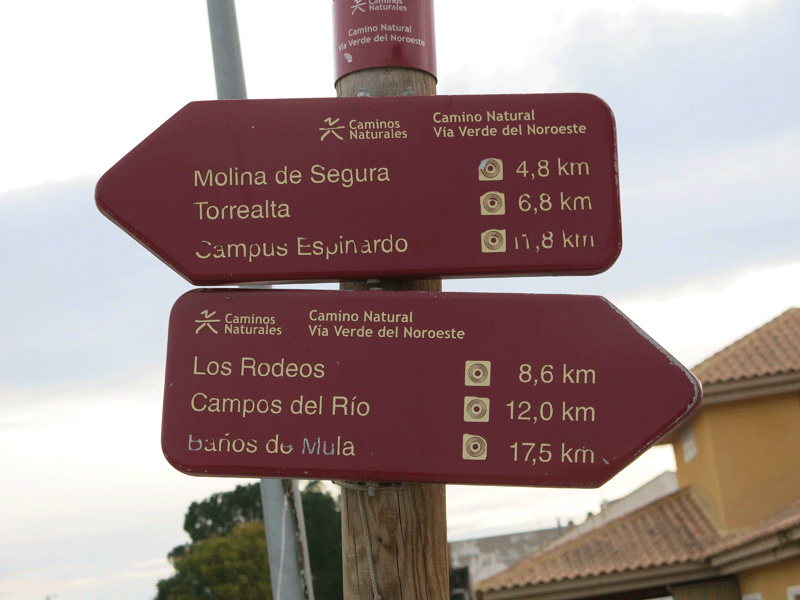
| For Day 2 you have two choices i.e. either stop overnight in Molina de Segura or carry on to the natural end of the stage in Alguazas. Following the Sarah Gordon notes and seeing what accommodation was available on www.booking.com, I decided to stay in Molino de Segura. Hotel Villasegura sounded quite appealing! This meant that I had to make up the Day 2 shortfall (approximately 4.7 km) before I started Stage 3 proper in Alguazas. This resulted in a 31.5 km stage, and to make matters worse (a) I had blisters on my feet and (b) it rained for three hours after I reached Campos del Rio. The path is normally gravel or baked hard colloidal clay: with the rain it turned into a claggy mass that stuck to the bottom of your boots making walking harder. There was no alternative other than to grind it out, and I was glad to reach Mula at the end of the day. |
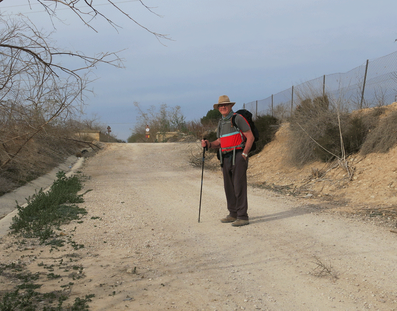
Leaving Hotel Villasegura and heading back to the trail
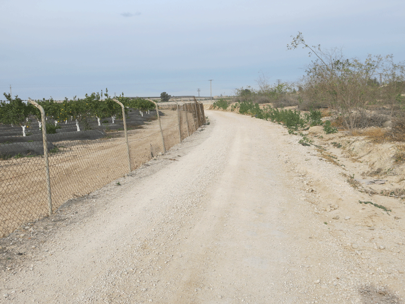
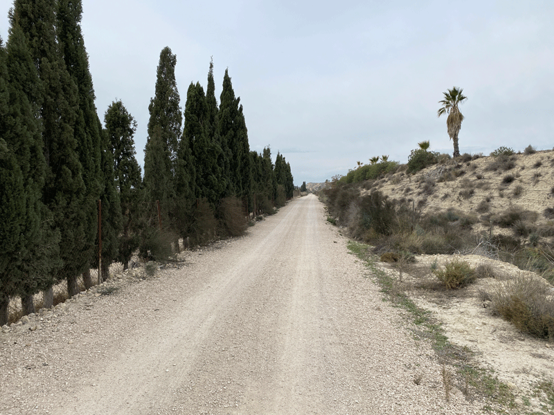
Back on the camino
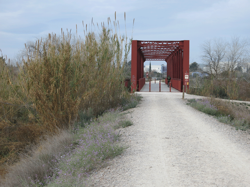
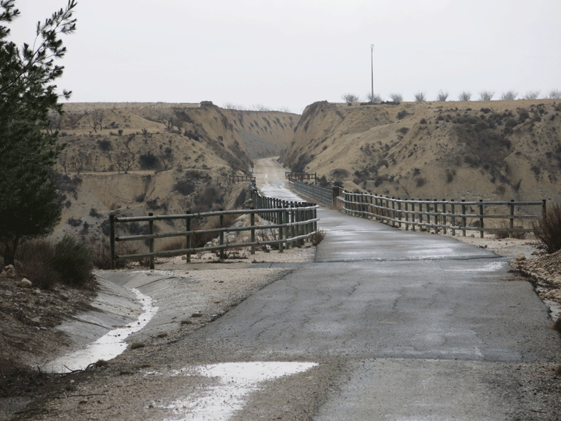
Puente Sobre El Rio Segura
I managed to find a small bar for "breakfast" in Alguazas
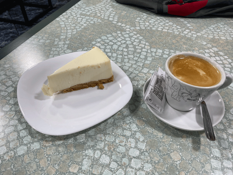
Breakfast.... a coffee and cheesecake

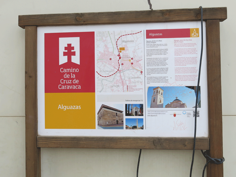
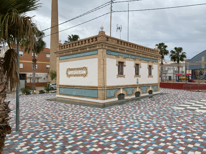
Alguazas
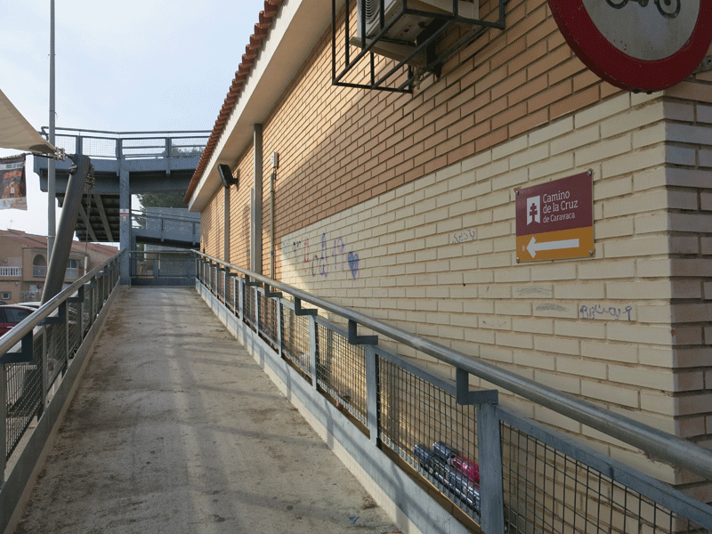
Bridge over the railway
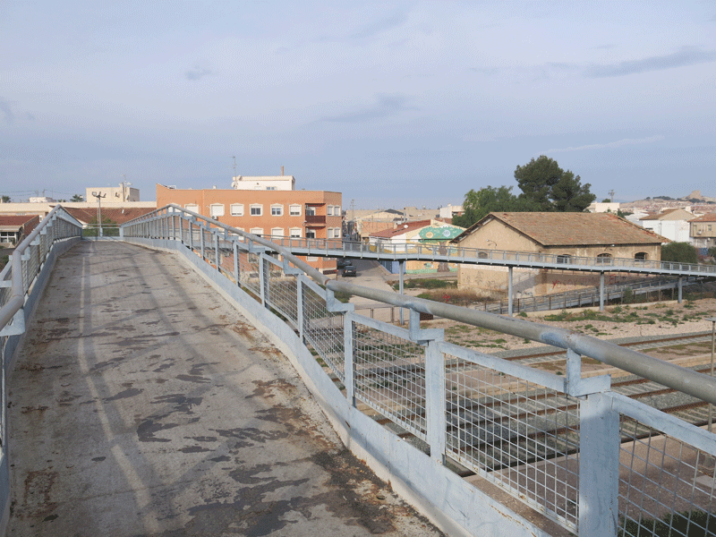
Over the far side of the railway the route is well marked, but is slightly different to the GPX files I had on my phone.
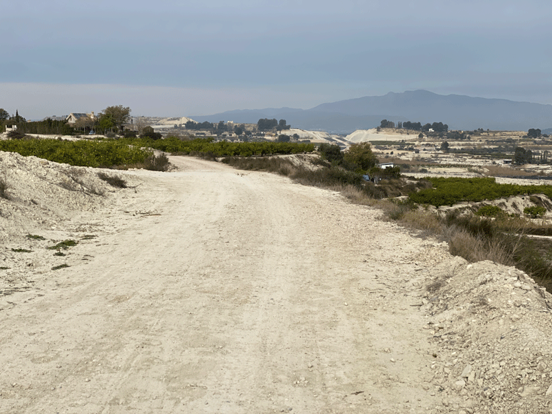
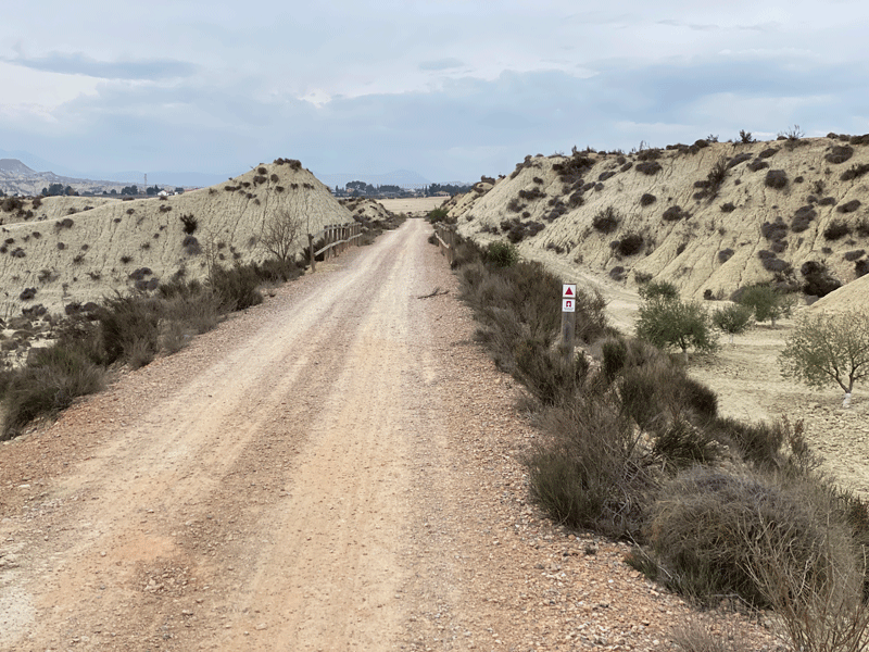
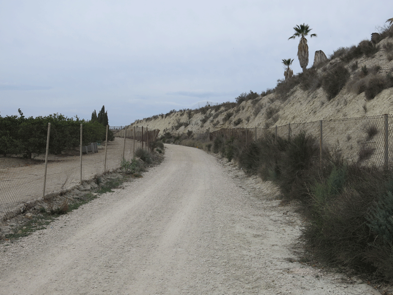
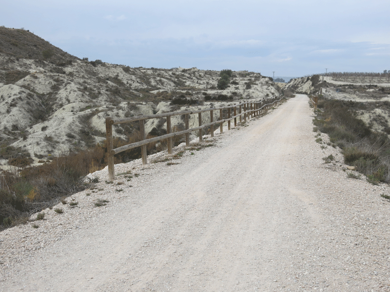
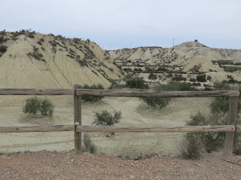
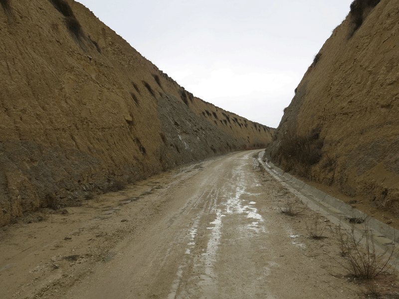
Into the Badlands
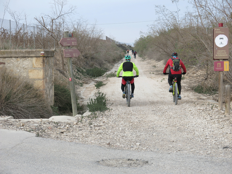
Plenty of bikers but not a single pilgrim walking
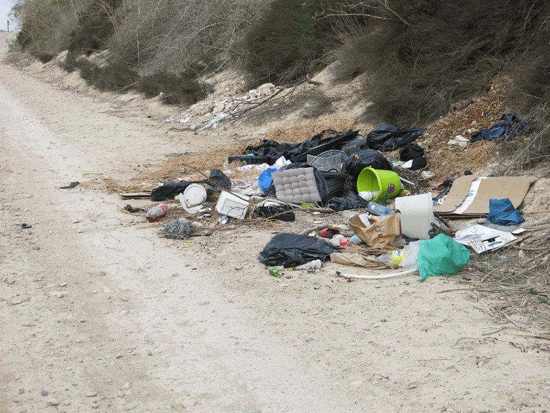
Fly tipping again. Such a shame for a Via verde recreational path
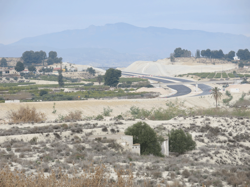
New road construction
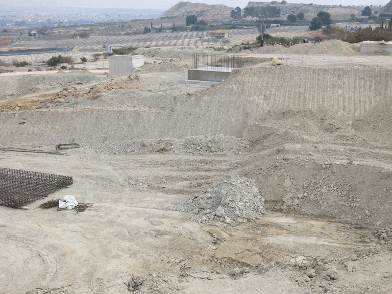
The path obliterated by road works; although there was a deviation
I managed to get through to avoid descent/ascent
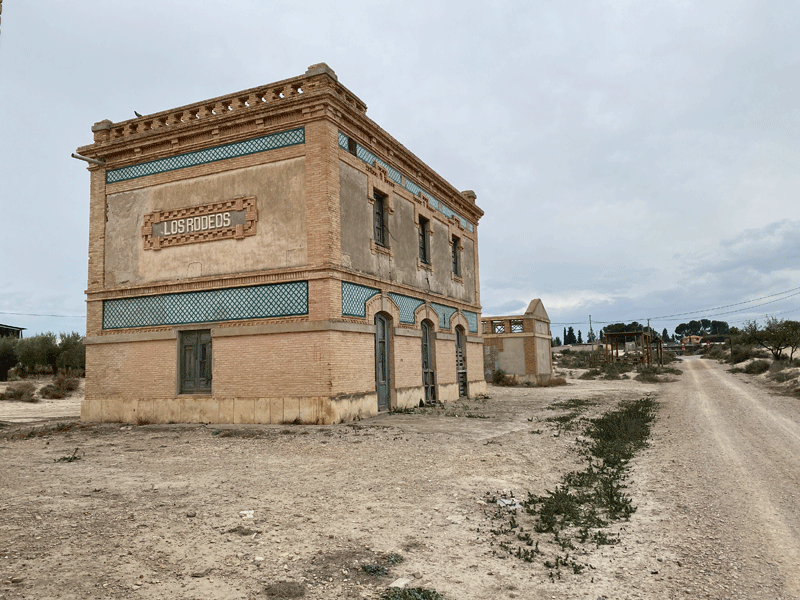
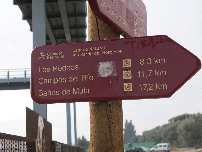
Los Rodeos railway station
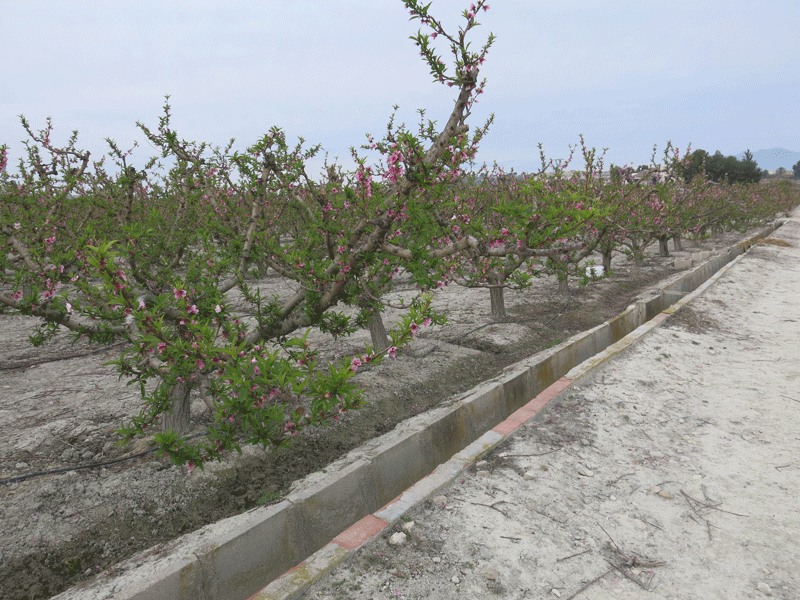
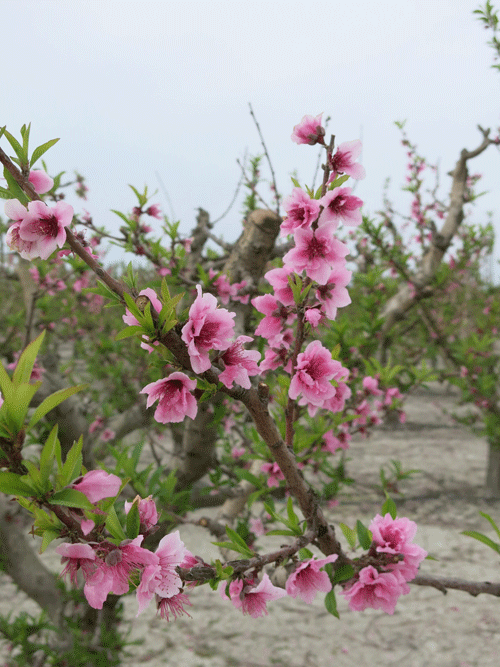
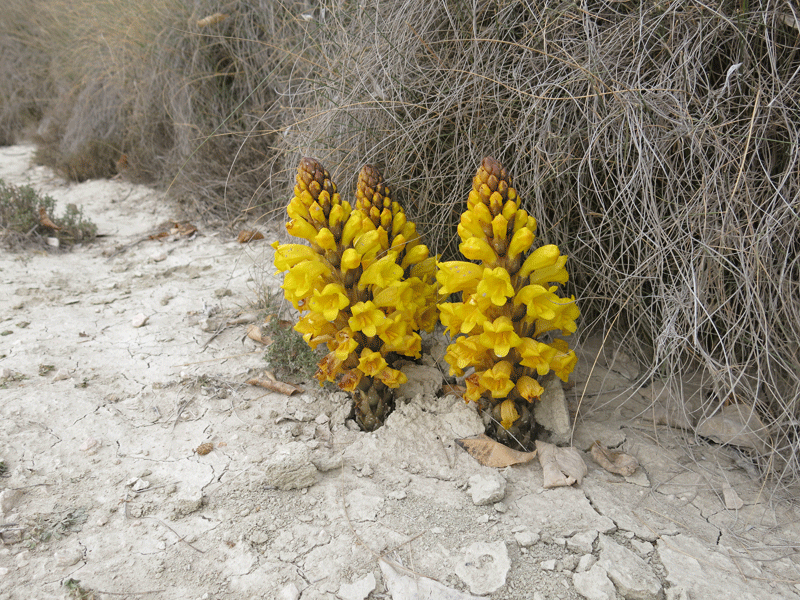
Almonds (?)
11km after 3H11
The old Campos del Rio station
| Campos del Rio, on the banks of the River Mula. Its rich vegetation contrasts with the barrenness of the "lunar landscape" of the surrounding area. There are hosels in Campos del Rio if you wish to spolit the Mula stage into two. |
13km to go, and it started raining! This was not good as I had already done
16.7 km and it had taken me 4H32
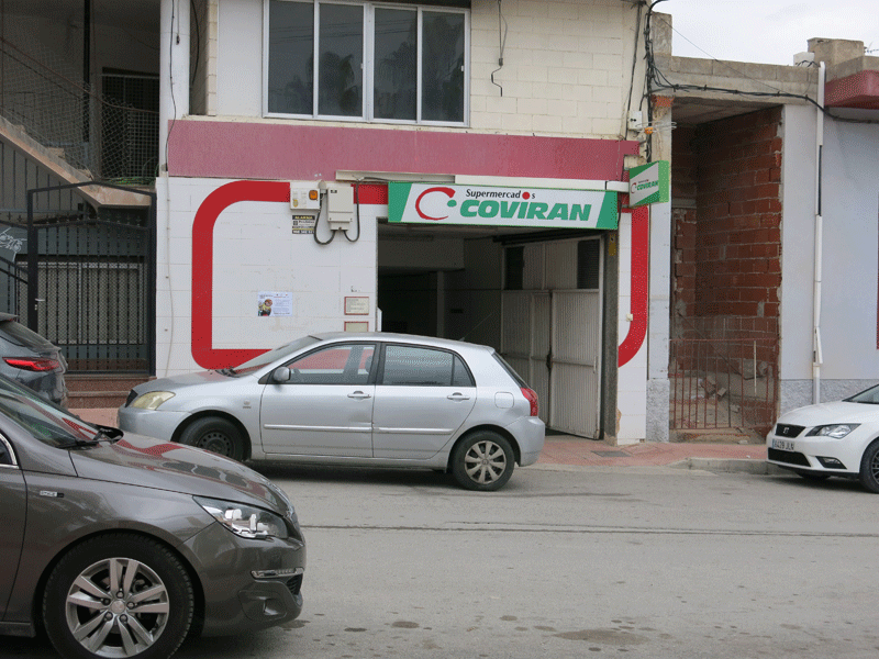
The entrance to this supermarket was not obvious, being down a ramp that looked like a garage entrance
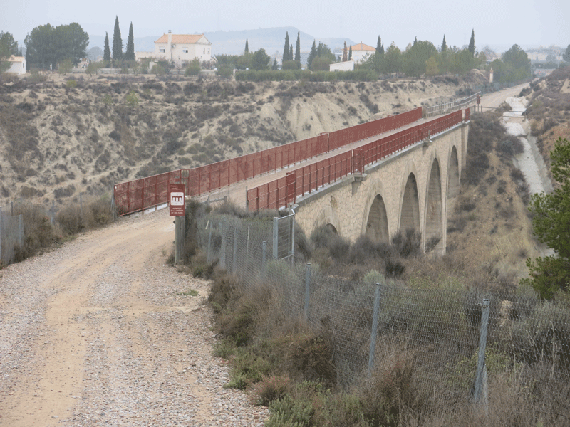
Viaducto de la Cañada de los Ojos
.Albudeite .... 20.56 km in 5H44

Albudeite station
This village is famous for its esparto grass and for being scarce of water,
according to the translation of its Arabic name. |
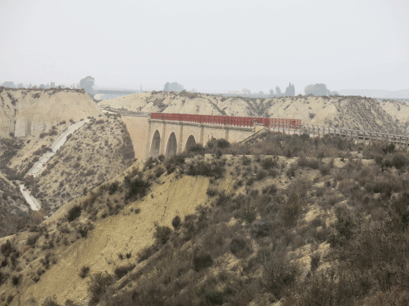
Viaducto del Barranco del Moro de Carrizal
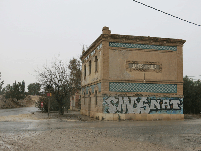
Banos de Mula Station. I was getting cold by this point so went inside to put on a fleece.
By now I had done 20.56 km in 5H45
Still another 6 km to go
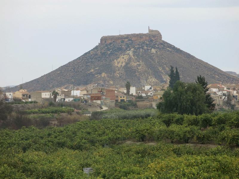
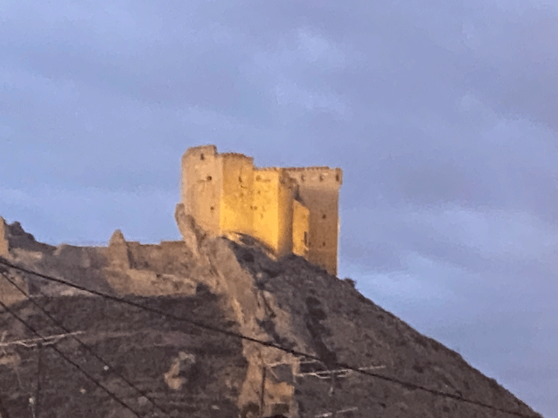
el Castillo de Alcalá
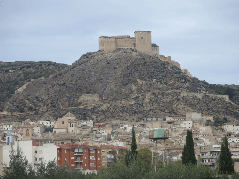
El Castillo de los Vélez
This castle is the foremost landmark in Mula, dominating the town and perched on the top of the hill which protects Mula from its neighbours to the north.It was built as a result of the quarrels between the Fajardo family (who became the Marqueses de los Vélez) and many of Mula's powerful citizens, as a statement of the power and wealth of the family during the 16th century. The fajardos were in the ascent during the 14th century with powerful friends in the Order of Santiago, which owned vast tracts of the Region of Murcia and the Castile, one of the two main royal houses which dominated Spain. At this point in history Spain had not yet been united into one and these two powers were locked in a constant state of conflict and political intrigue for the succession of the respective kingdoms and domination of territories.
Courtesy of www.murciatoday.com |
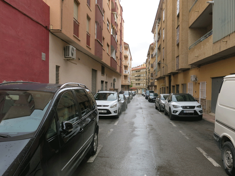
Calle Goya
Accommodation
Apartamento Gabarron, 2 Calle Goya, 30170 Mula
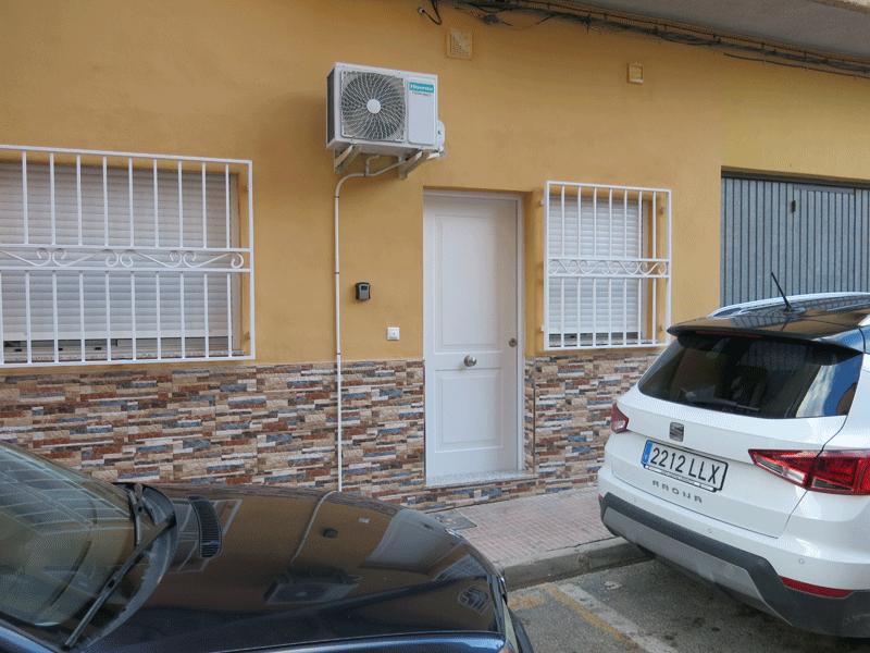
Apartamento Gabarron is at the beginning of Calle Goya on the right hand side; the entrance is on ground floor level
through this white door, and there is a key box to the left of the door.
|
